West Koot Route
Nature, Culture & Adventure
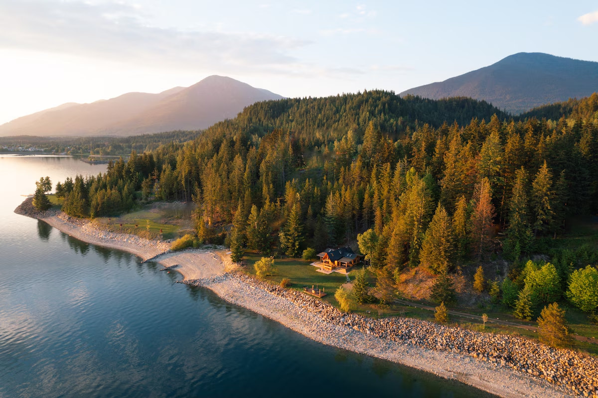
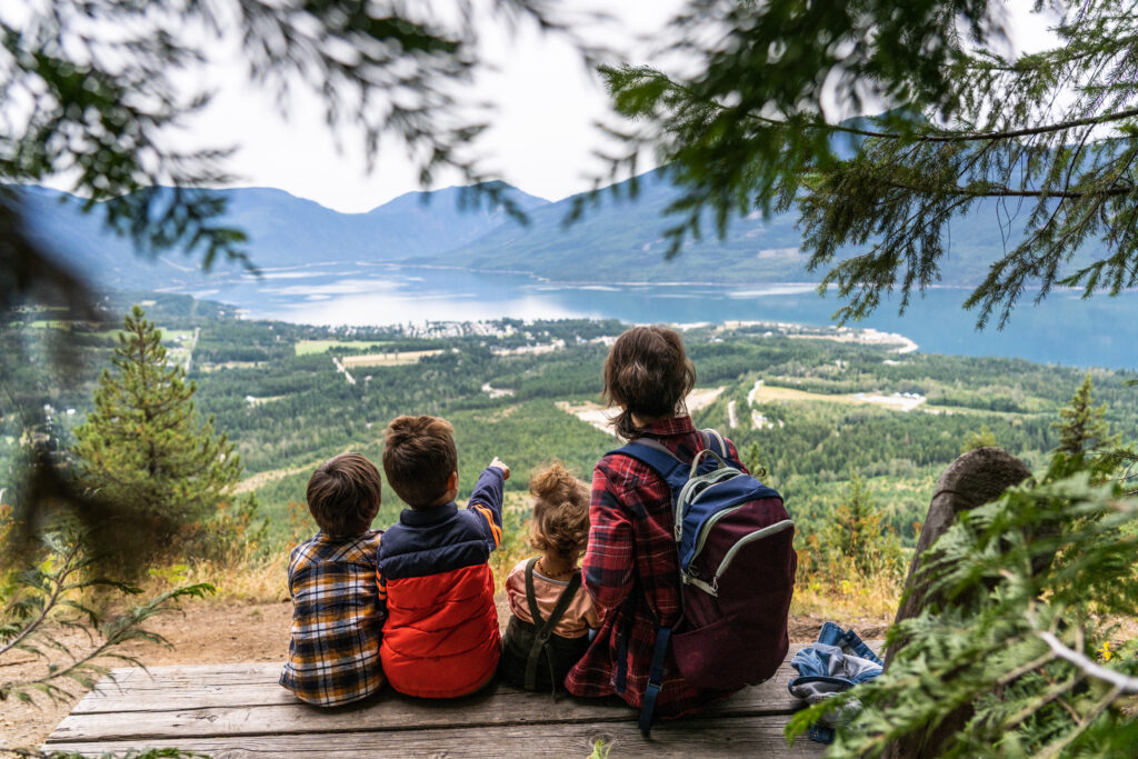
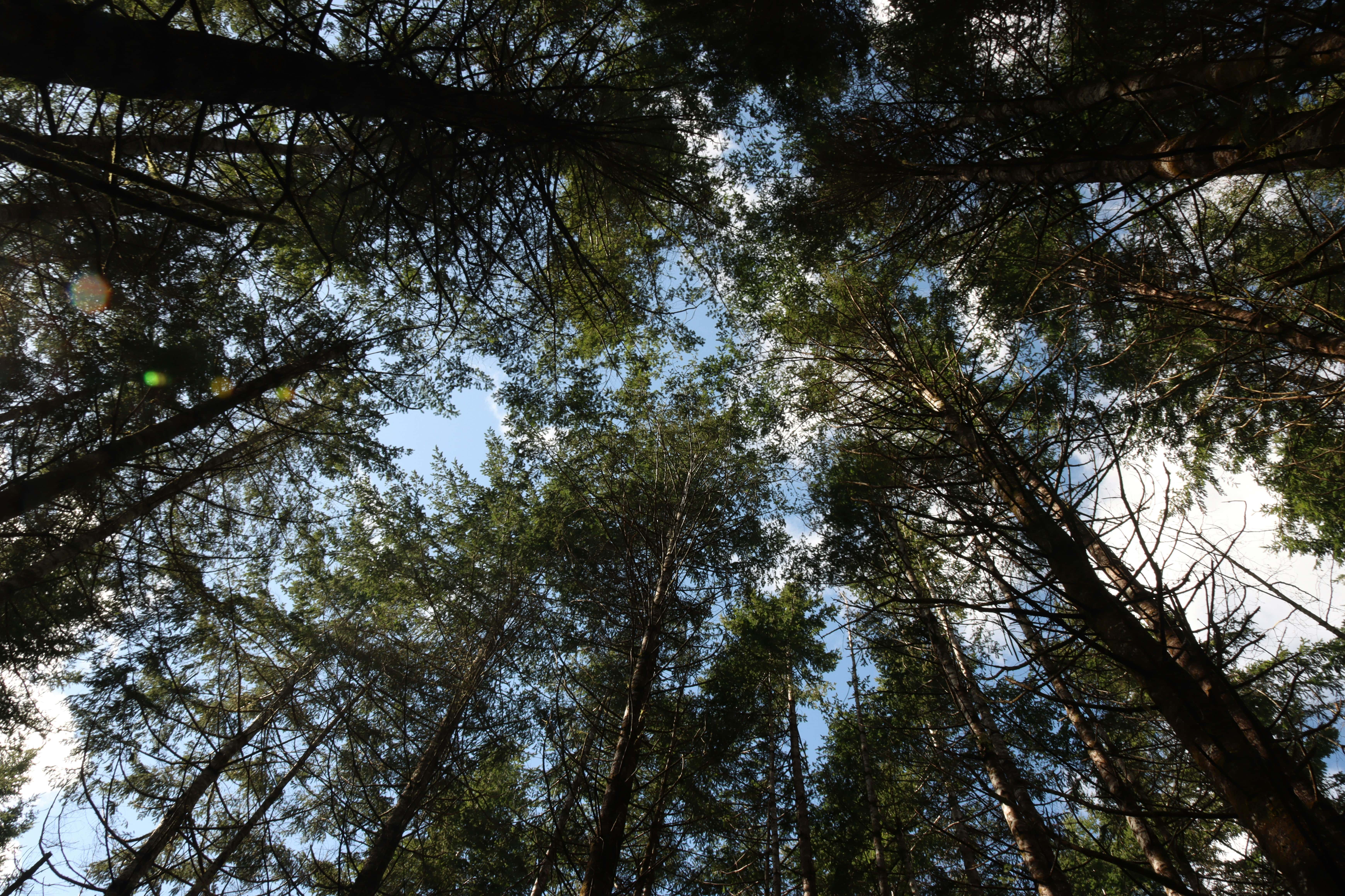
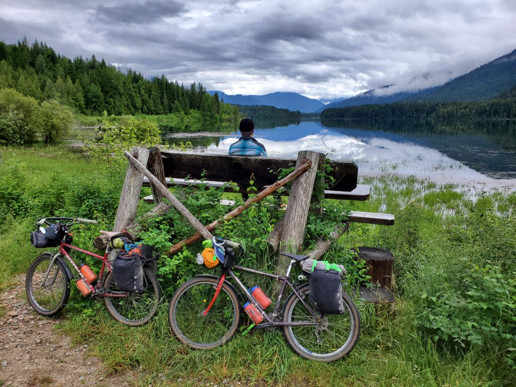
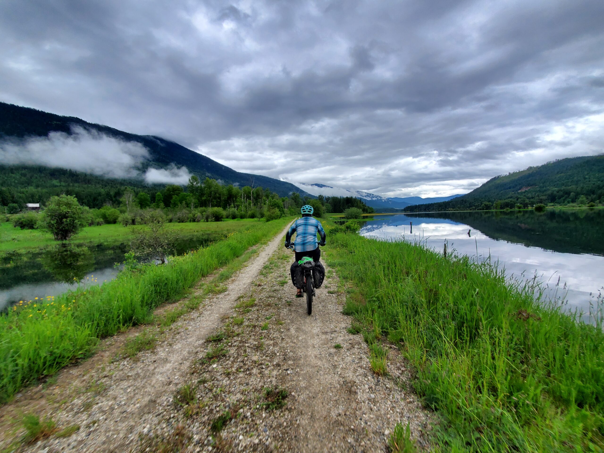
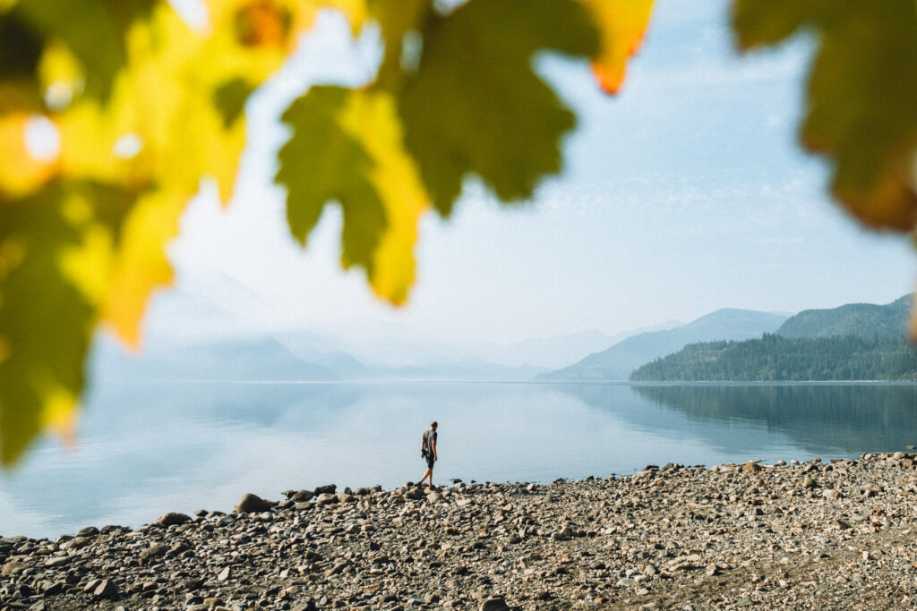
Experience the diverse landscapes of the West Kootenays—where every twist and turn leads to stunning scenery, vibrant arts communities, and outdoor recreation.
Discover the RouteEasy Access Adventure
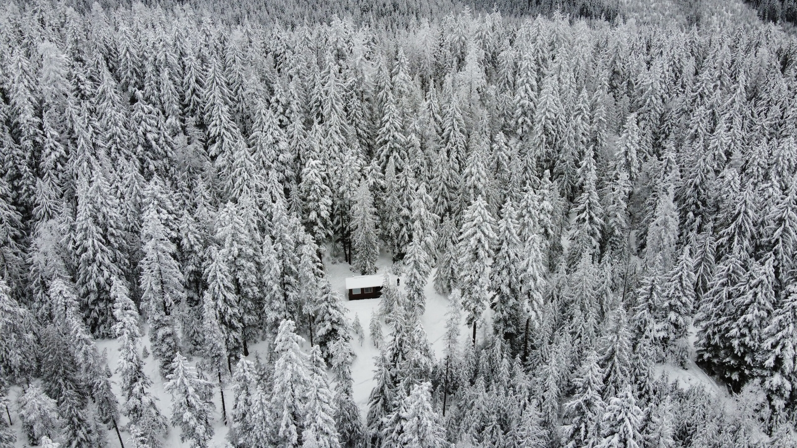
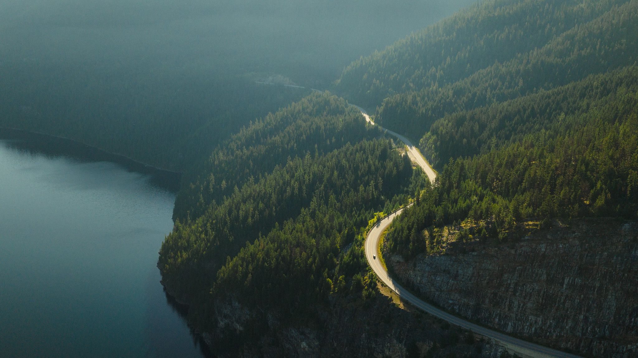
Journey through the diverse landscapes of the West Kootenays, where winding mountain roads, charming small towns, and breathtaking natural wonders create an adventure filled with discovery and awe-inspiring beauty.

A Journey Worth Taking
Imagine quiet roads, restful villages and never ending landscapes. Aimless wandering is not just accepted but encouraged.
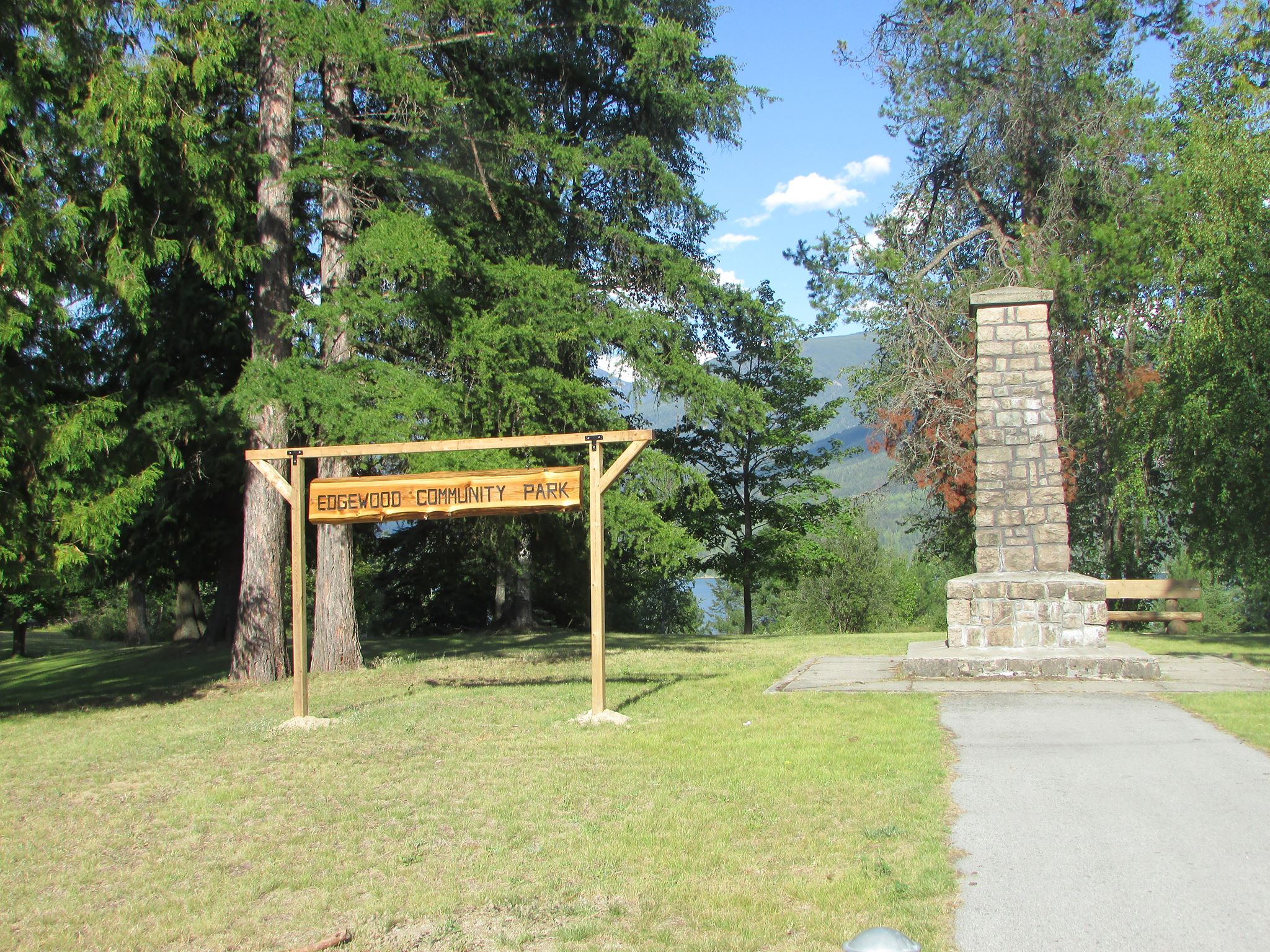
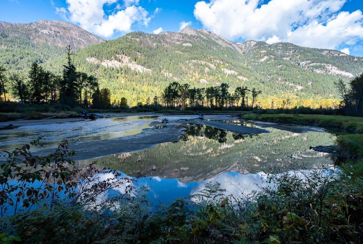
Part of Arrow Lakes Provincial Park, enjoy a community-run park and campground near the mouth of Eagle Creek.
Why Stop Here?
- Campsites for both RV’s and tents
- Sandy beach
- Easy-access boat launch
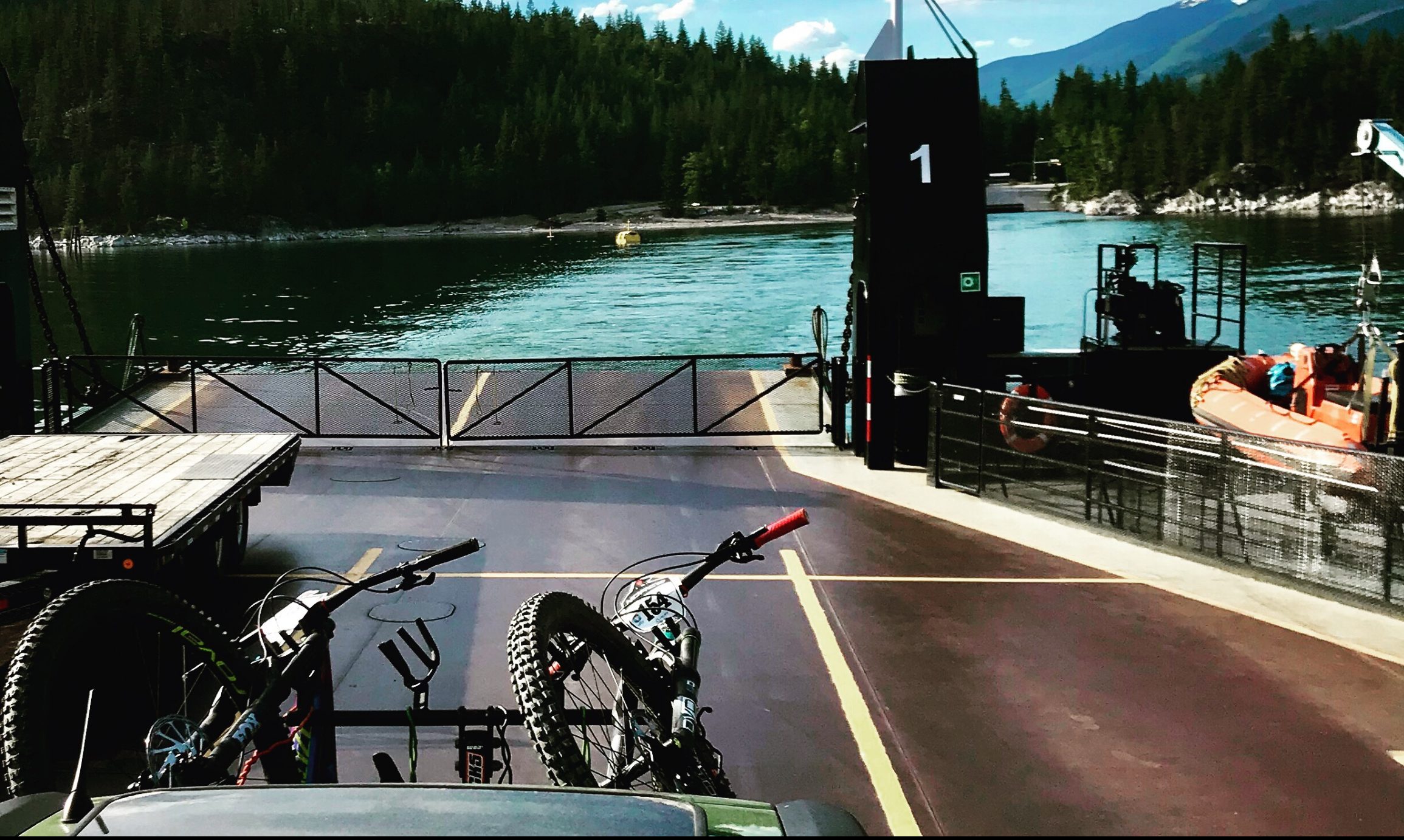
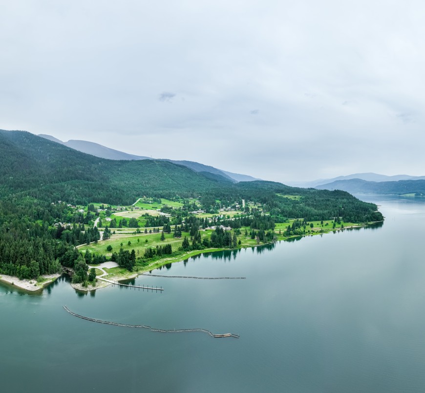
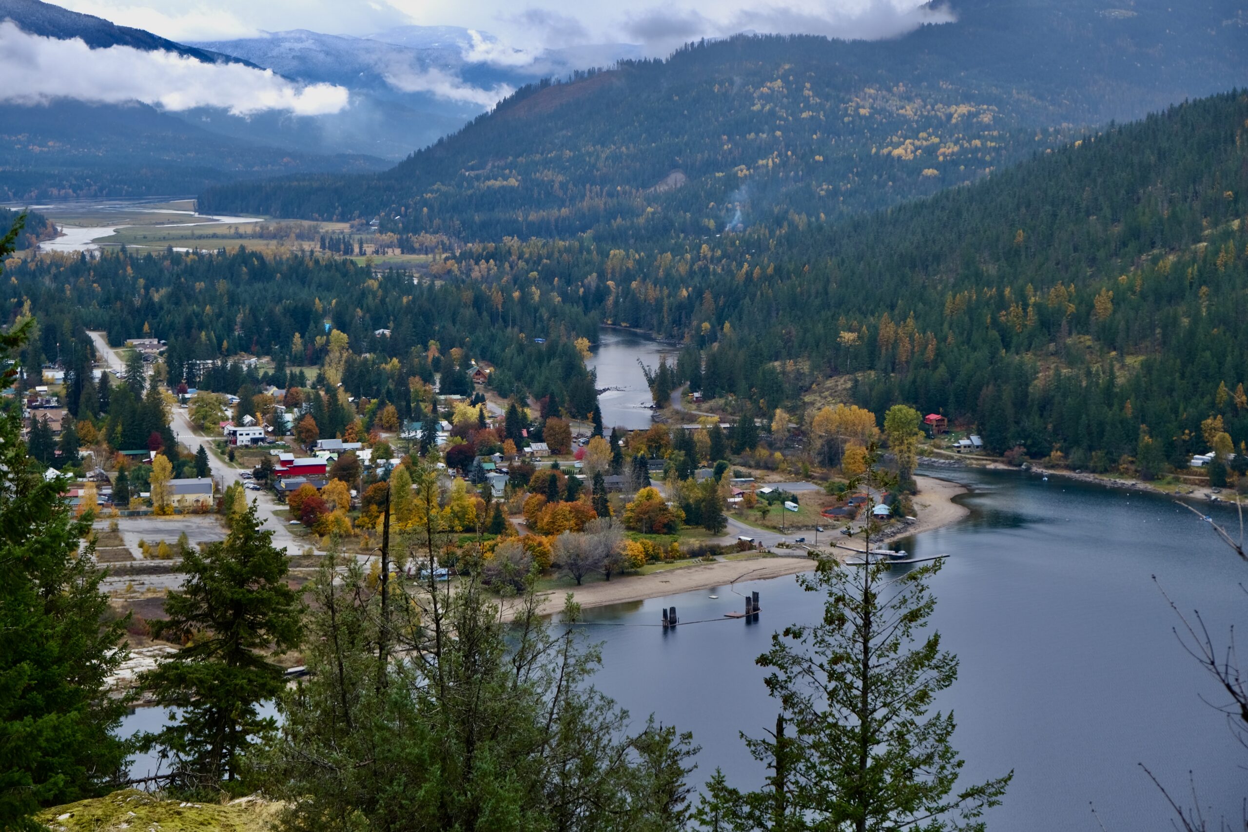
Enjoy a free ferry ride across Arrow Lake, offering panoramic views of the surrounding mountains and an iconic experience unique to the Kootenays.
Why Stop Here?
- Free ferry ride with stunning lake and mountain views.
- Perfect spot for taking photos of Arrow Lake’s beauty.
- Relaxing break before continuing your road trip.
- Chance to spot wildlife along the shoreline.
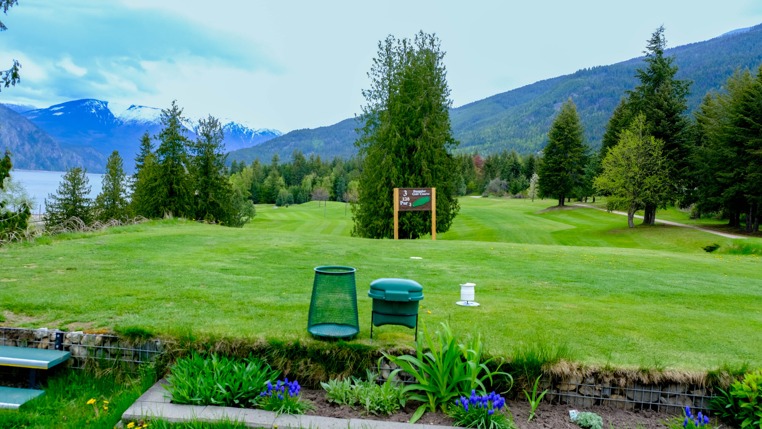
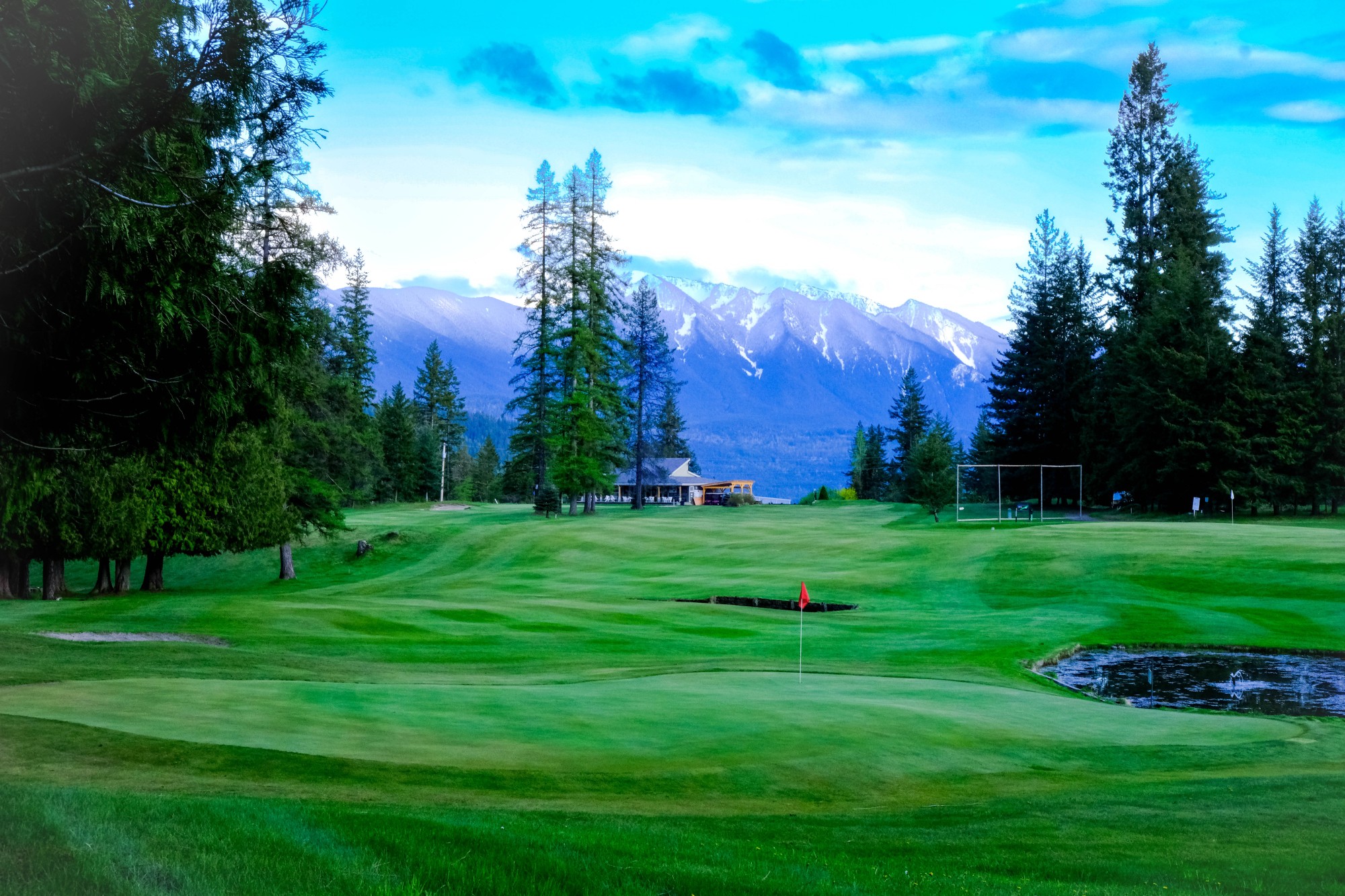
This 9 hole executive par 4 golf course is ideally located on the edge of Upper Arrow Lake, with scenic mountain views.
Things to Know
- Call ahead to book a tee time. 250-269-7414
- Follow their Facebook page for up to date info and upcoming events.
- Adult 9 holes is $30
Arrow Lakes Provincial Park is spread over multiple sites on the lake. Fauquier is one of three small parks managed by local community groups.
Things to Know
- Ensure you check local fire regulations before lighting a campfire.
- Follow the Leave No Trace principles and pack out what you pack in.
- Be water and sun safe.
- Be aware of wildlife.
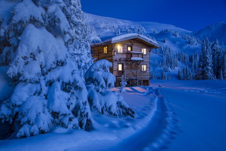
Includes three lodges – Valkyr, Hilda and LQ Outpost – that offer access to backcountry skiing in winter and hiking in summer.
Things to Know
- Guided and fully catered trips are available.
- Experience renowned Selkirk powder skiing.
- Enjoy spectacular views of alpine meadows, sparkling wilderness lakes and rugged peaks.
- Visit valkyradventures.com to learn more
Burton is one of three small parks managed by local community groups.
Things to Know
- 22 km north of the Needles Ferry and 36 km west of Nakusp on Highway 6 towards Fauquier.
- 37 sites which are mostly treed; some sites are pull-throughs.
- Large open areas for recreation; a volleyball net, horseshoe pit, and space for bocce is available for use.
- Open May 1 – September 30
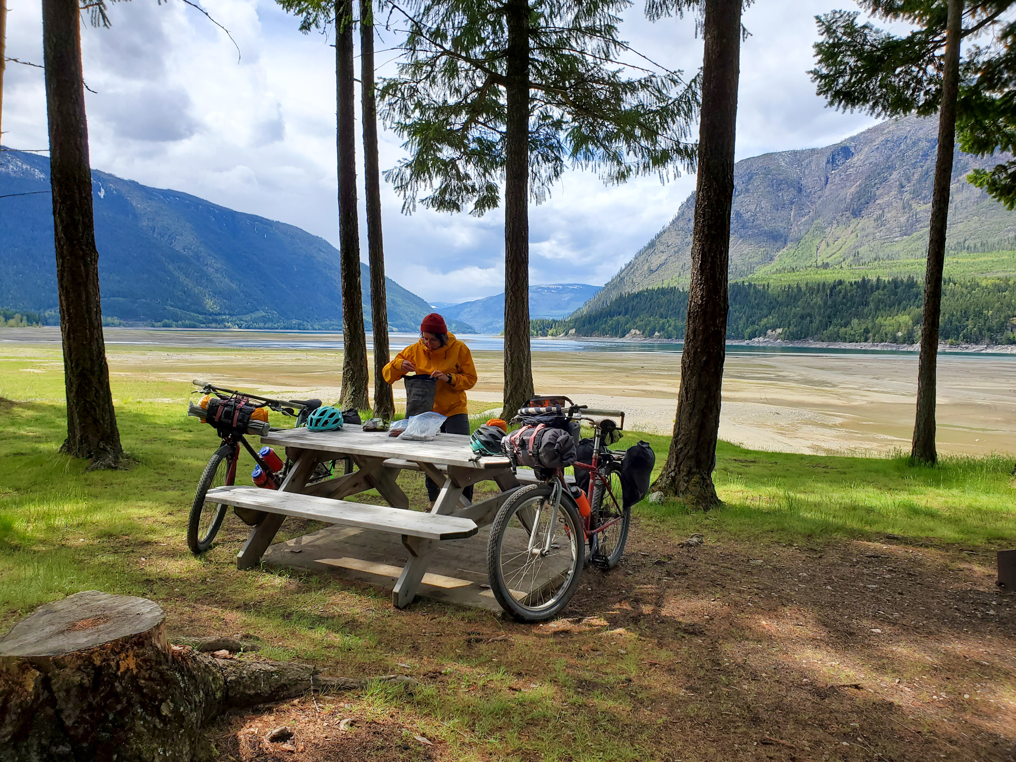
The free cable ferry runs across the junction of Upper and Lower Arrow Lakes at Arrow Park, 22km south of Nakusp on Highway 6.
Things to Know
- Ferry capacity is 24 vehicles and 48 passengers.
- The ferry runs on demand.
- 5 am – 12:05 pm and 2:15 pm – 9:20 pm
- The crossing is 5 minutes.
The hike ascends through forest and wildflower meadows to reach a historic fire tower with views of Nakusp and Arrow Lakes.
Things to Know
- Follow the 3 T’s from Adventure Smart: Training, Taking the Essentials, and Trip Planning.
- Practice Leave No Trace principles and pack out what you pack in.
- Be fire smart in the summer.
- Know the terrain and conditions.
Located on Upper Arrow Lake and maintained by BC Parks.
Things to Know
- Includes camping, boat launch and facilities.
- Enjoy stunning views of Upper Arrow Lake and several kilometres of fine sandy beach, water front sites and open grassy meadows.
- Open May 1 – September 30.
With 9-holes on grass greens, spectacular mountain views and a Licensed Fairway Café loaded with hospitality, it’s a great way to spend your day.
Things to Know
- The course is 2610 yards, par 34 and a slope rating of 107.
- Open 7am – 7pm, 7 days a week in the summer.
- Power carts and a driving range are available.
Lakefront walkway with views of the surrounding mountain ranges.
Things to Know
- The paved path runs along the lake adjacent to downtown.
- Find benches, shade trees and garden areas.
- Enjoy spectacular views of Arrow Lake and surrounding mountains.
- There are wheelchair accessible portions of this walkway.
Featuring a gazebo, washrooms, tennis courts, skatepark, sports complex, playground, dog beach, campground and Japanese garden.
The 8.2 km of groomed classic track set trails and warming shelter are maintained by the Arrow Lakes Cross Country Ski Club.
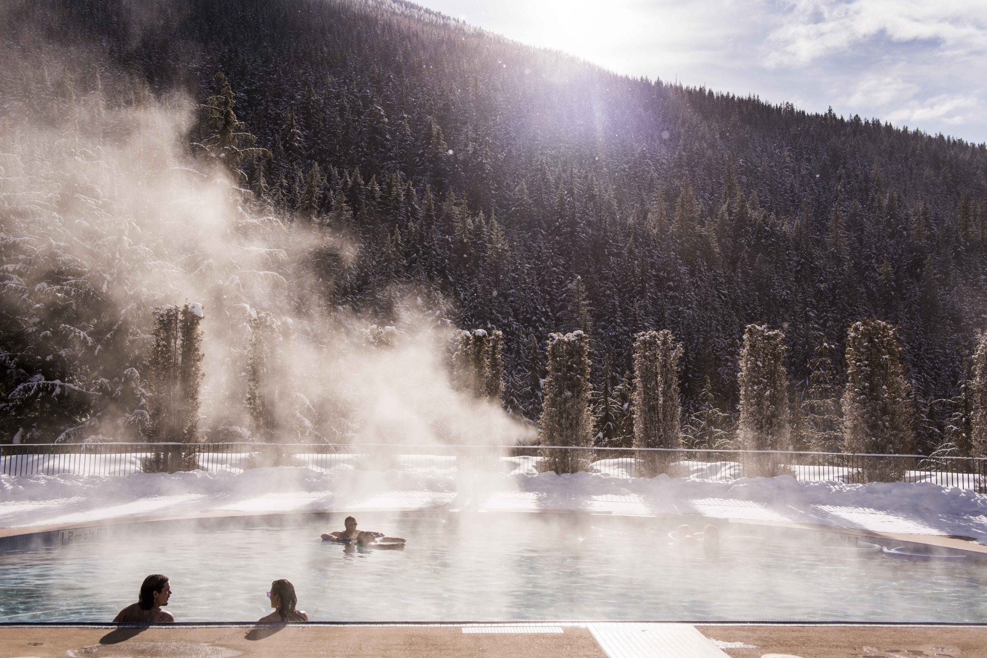
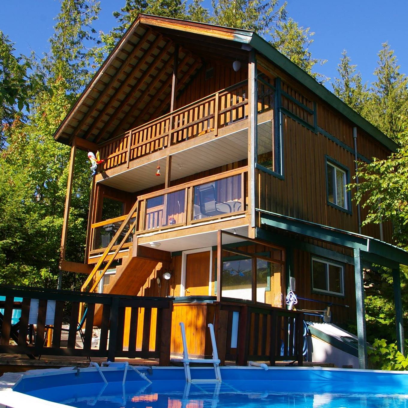
Nestiled in the Kuskanax Valley in the foothills of the Selkirk Mountains. Stay at the resort’s cedar chalets or, in summer, at the campground.
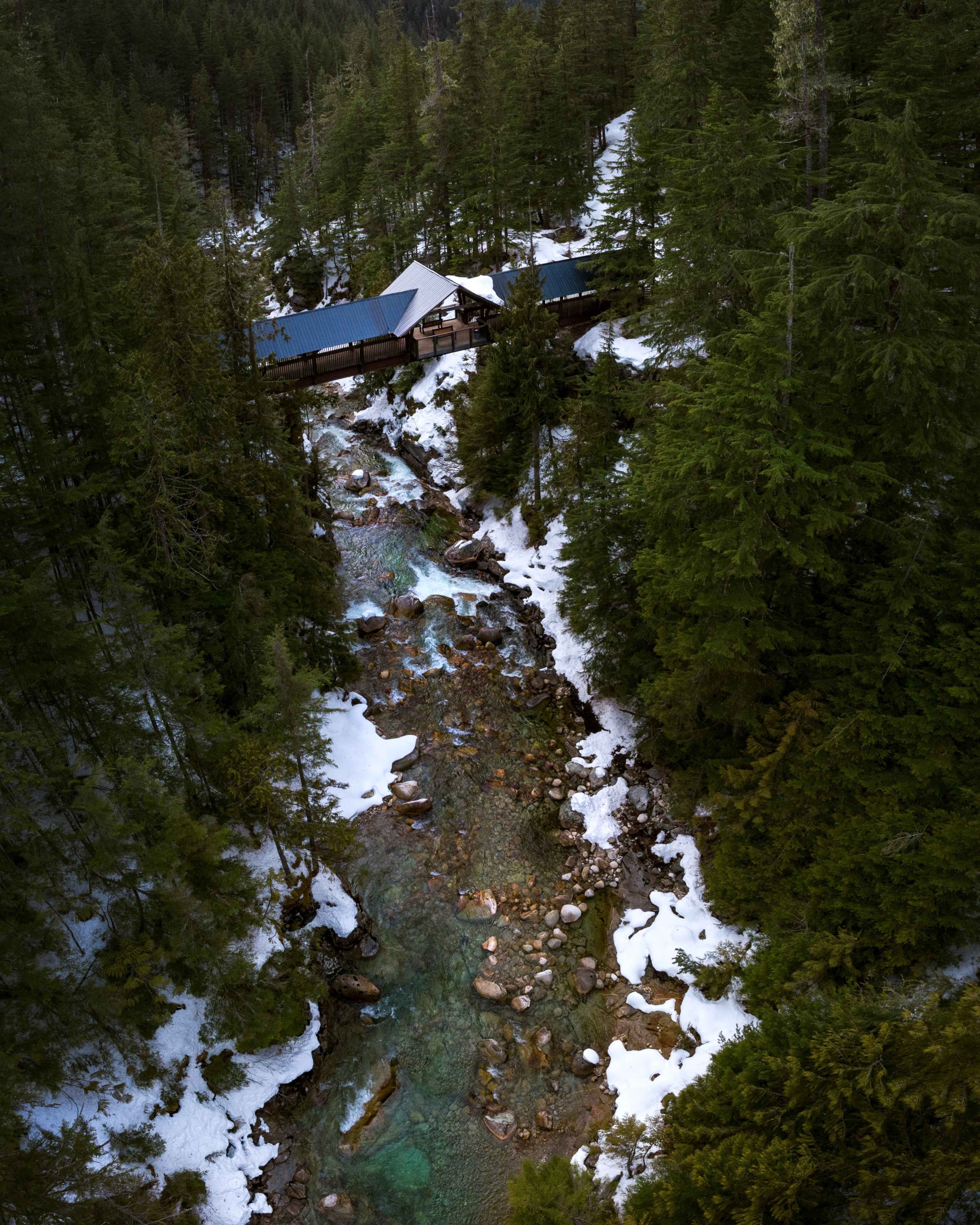
Over 15 km of trails are accessible from the hot springs road near the Nakusp Hot Springs. The Kuskanax River is crossed using the beautiful wooden footbridge.
A spectacular viewpoint close to town. A short walk through the forest offers panoramic views of Upper Arrow Lake, Nakusp, the Valhalla and Monashee Ranges.
A gentle half kilometer loop through a stand of majestic old grown Western Red Cedar trees.
Includes 26 tent and RV campsites on the shores of Upper Arrow Lake with beach access and a day use area.
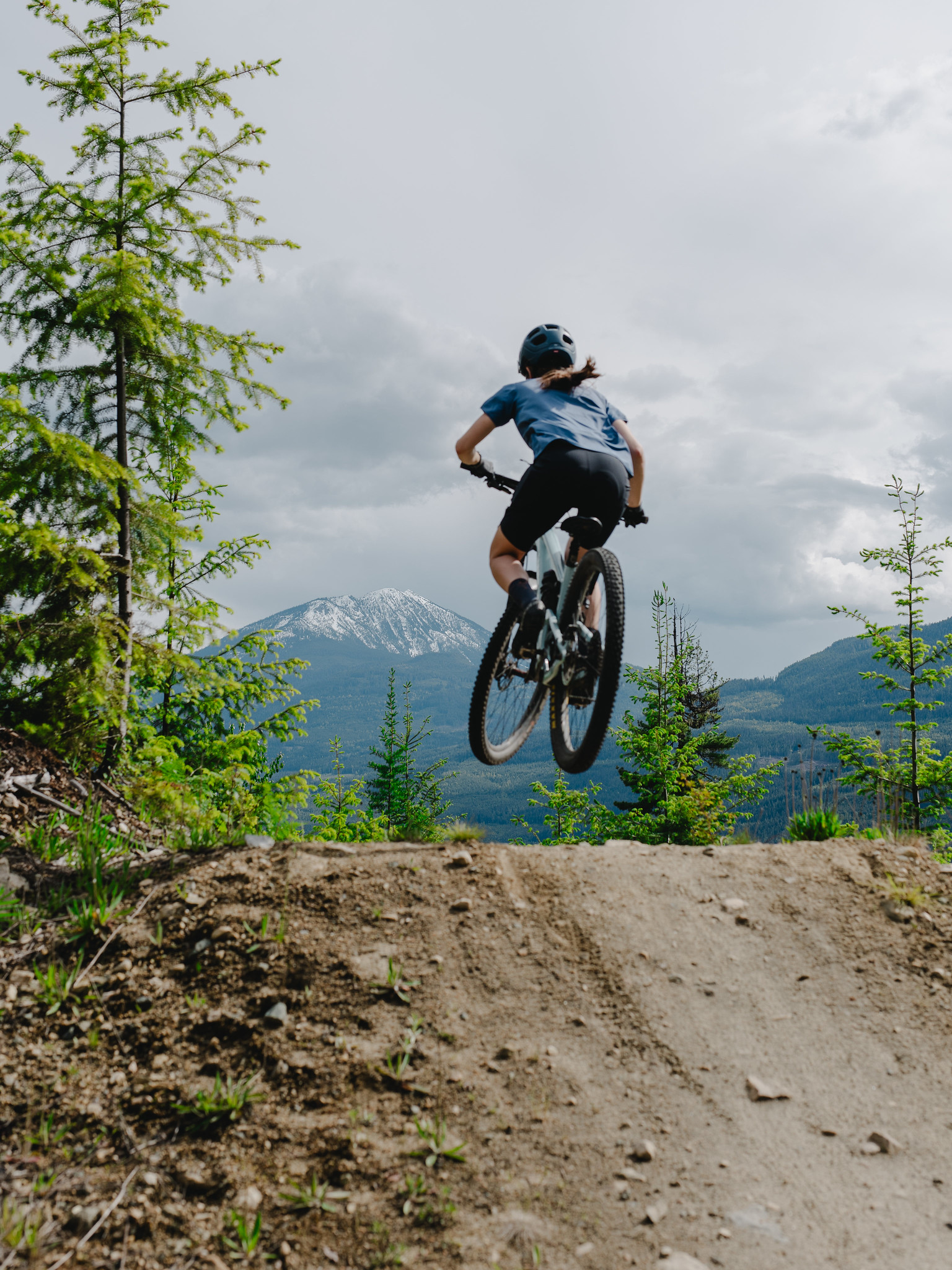
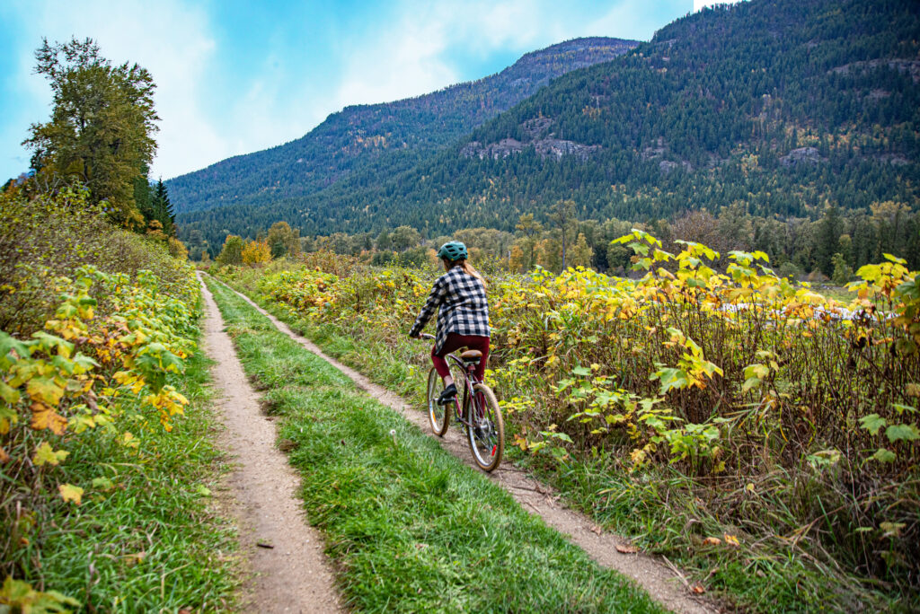
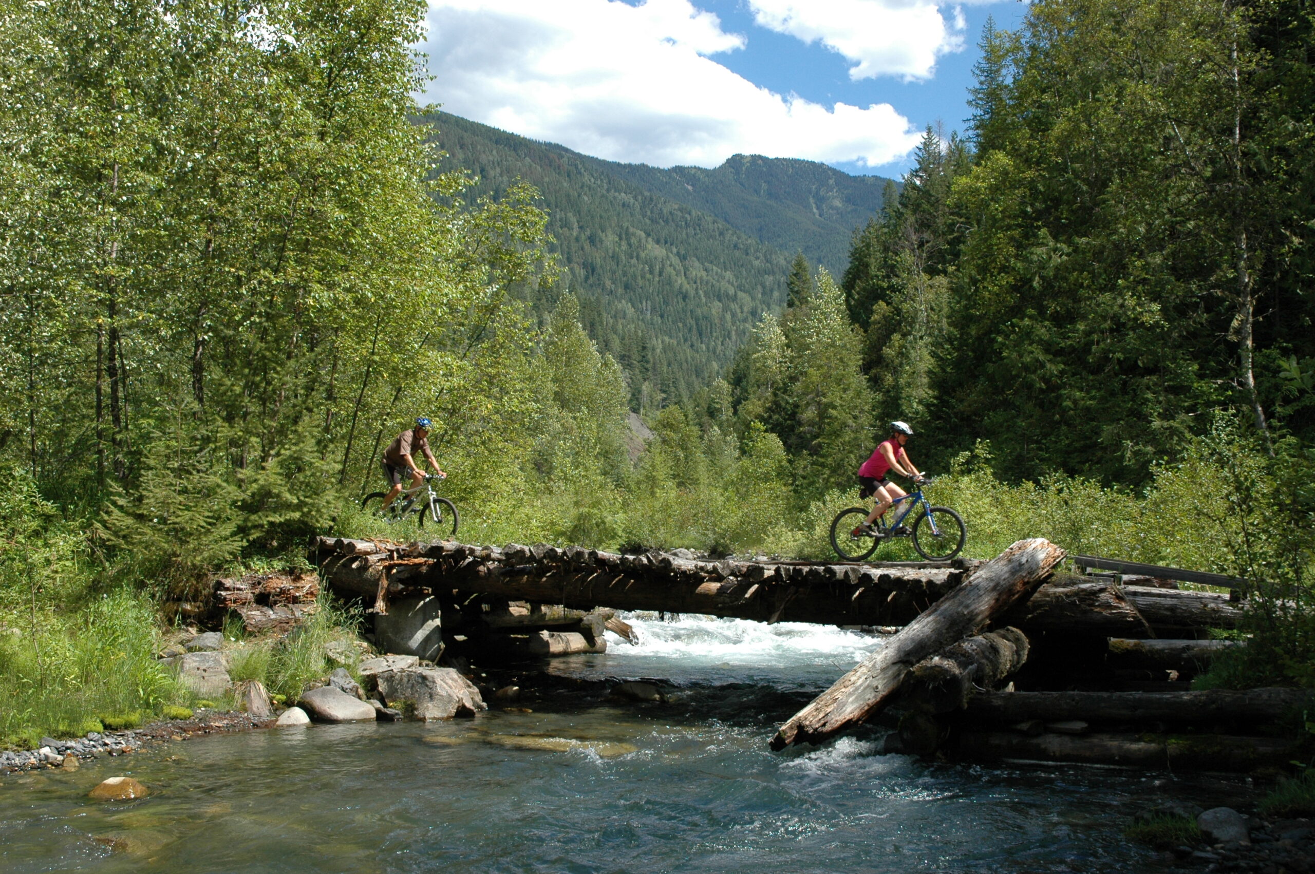
- The campsite is connected to a mountain bike trail network.
- Check out our mountain biking page to learn more.
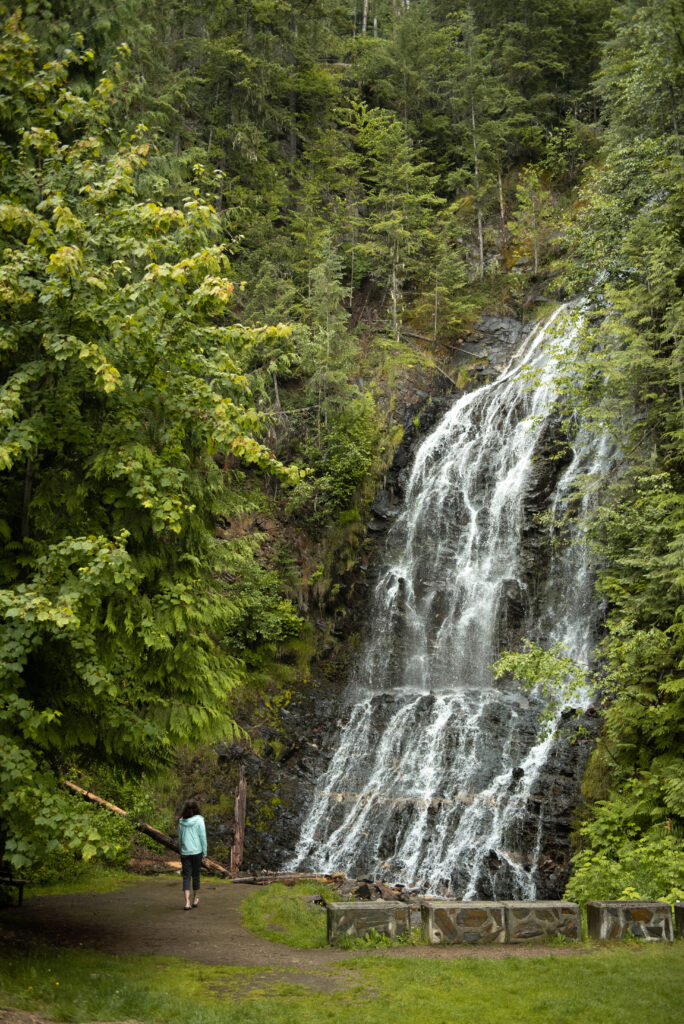
The 18 meter high falls are located 19 km north of Nakusp at a rest stop on Highway 23.
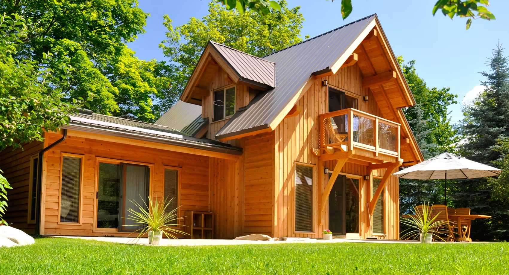
Situated on Upper Arrow Lake with views of the Monashee Mountains. Exclusive accommodations are scattered throughout the serene forest.
- Enjoy a meal at the Kingfisher restaurant, a spa visit, or the family friendly amenities.
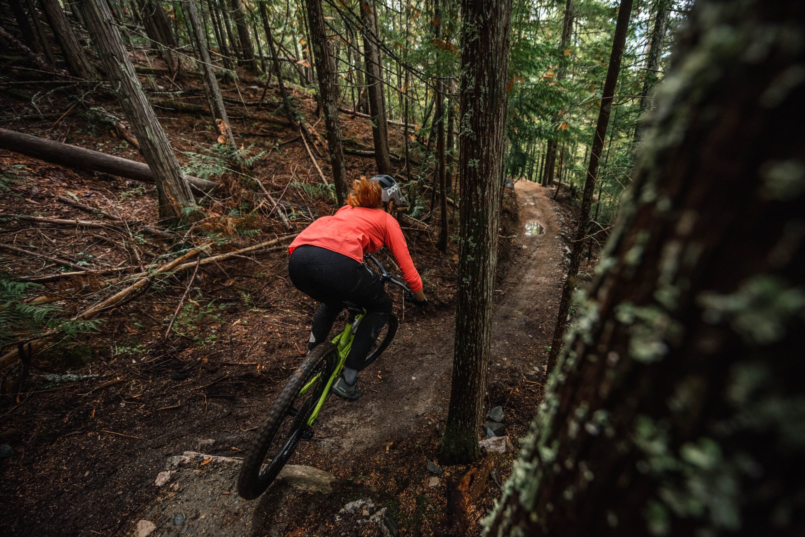
This mountain bike trail network across from Box Lake features a variety of moderate to advanced descents and a climbing trail.
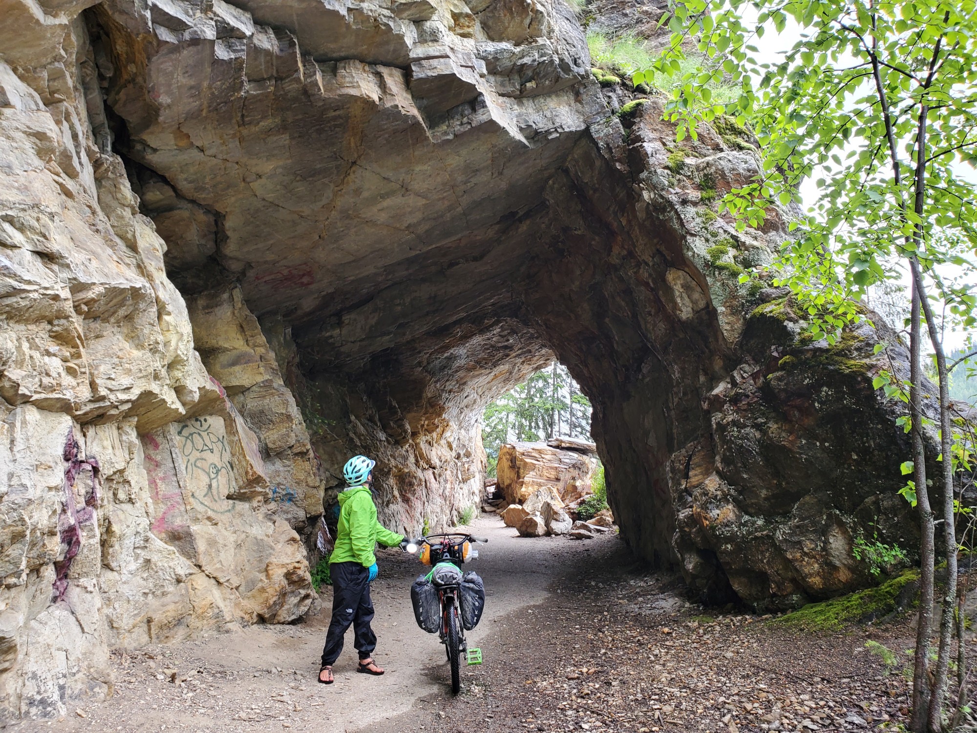
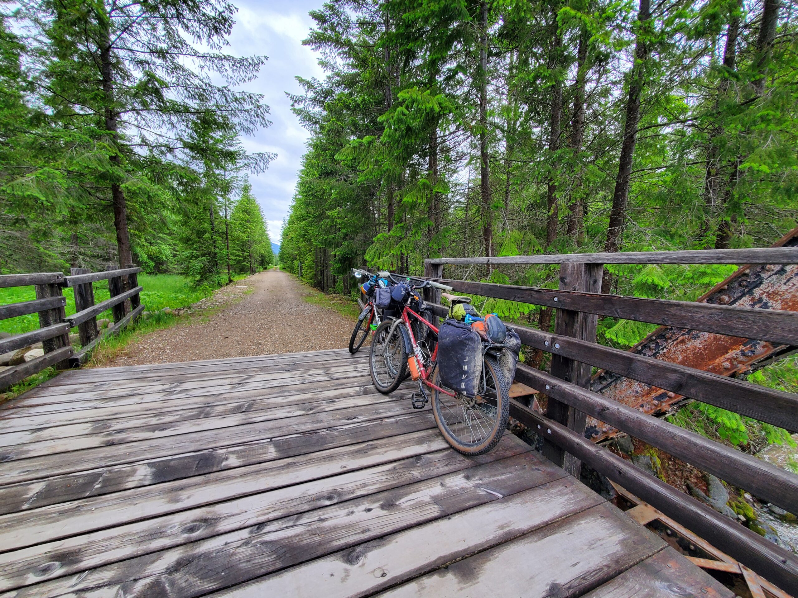
Connects Rosebery to Nakusp via the 46 km rail line that was built by the Nakusp & Slocan Rail Company in 1893.
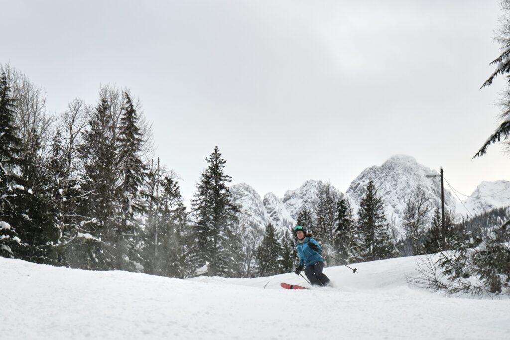
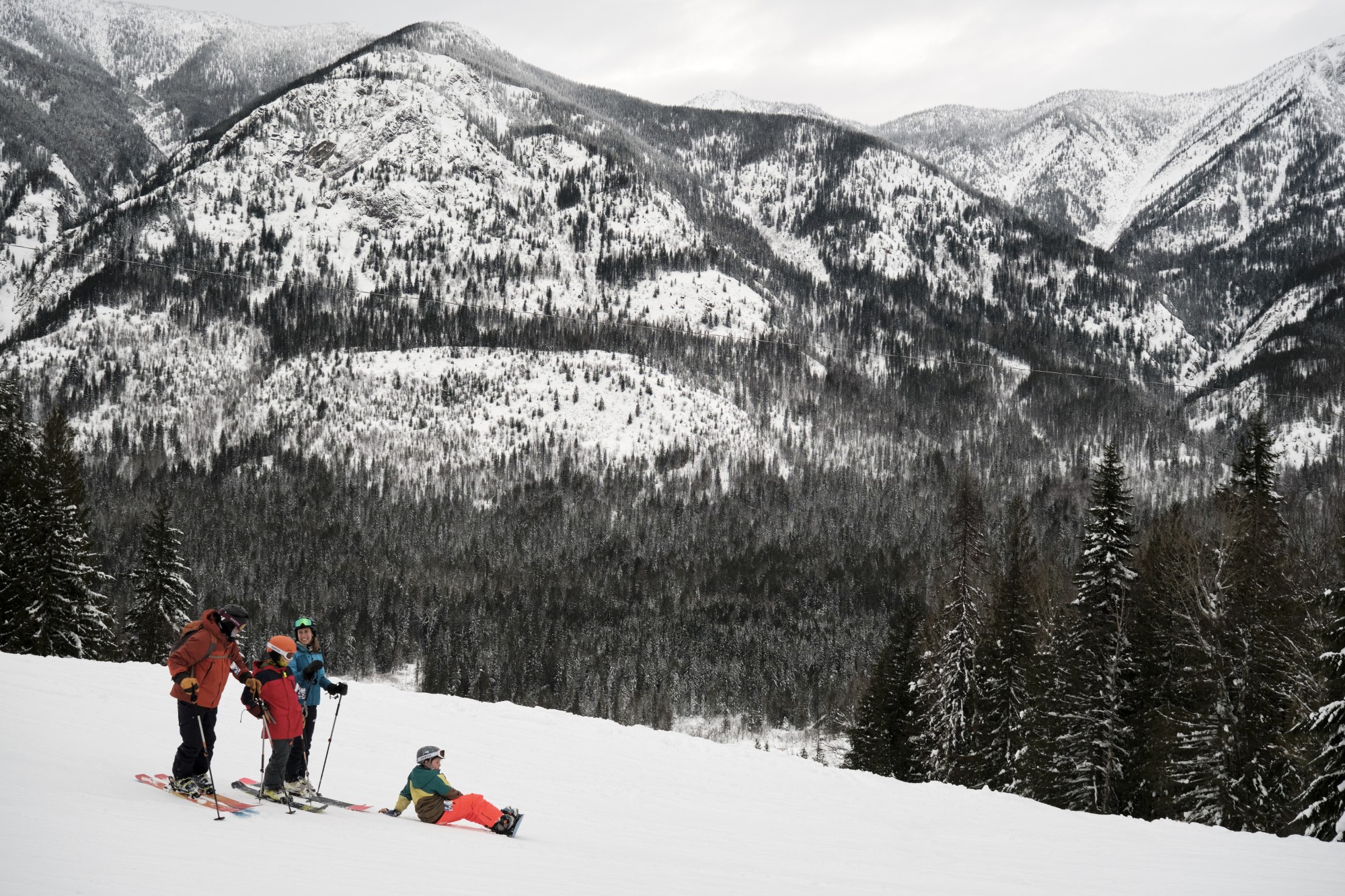
The hill offers skiing and boarding for the whole family. The snowshoe and cross country ski loop, terrain and tube park are added fun. Rentals are available.
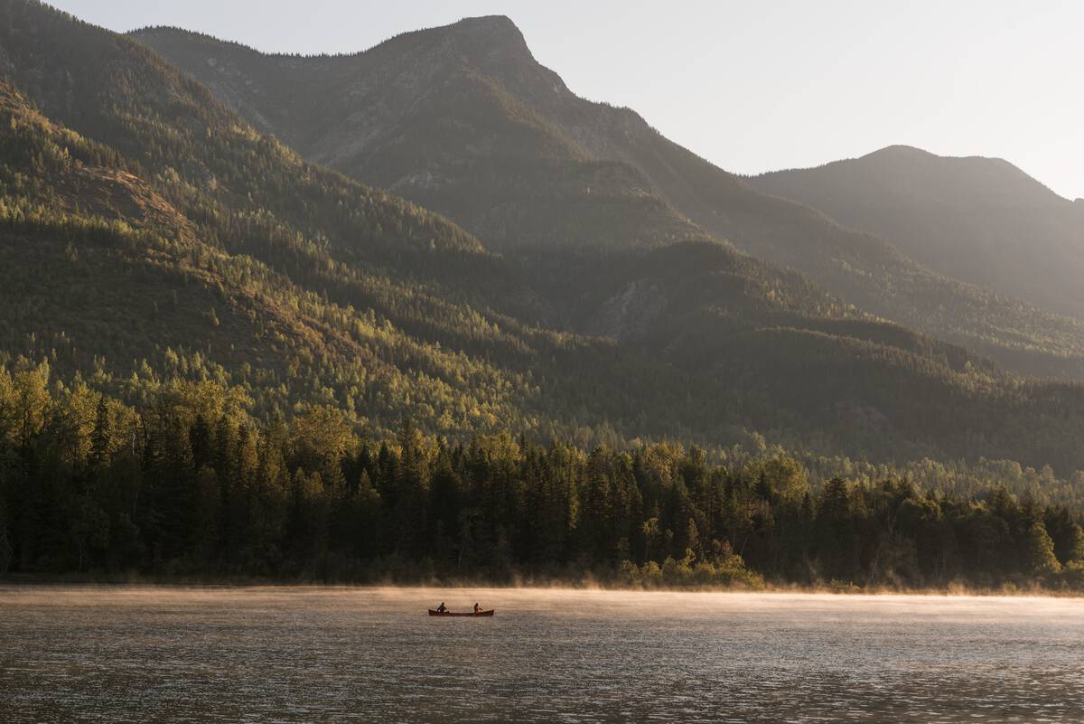
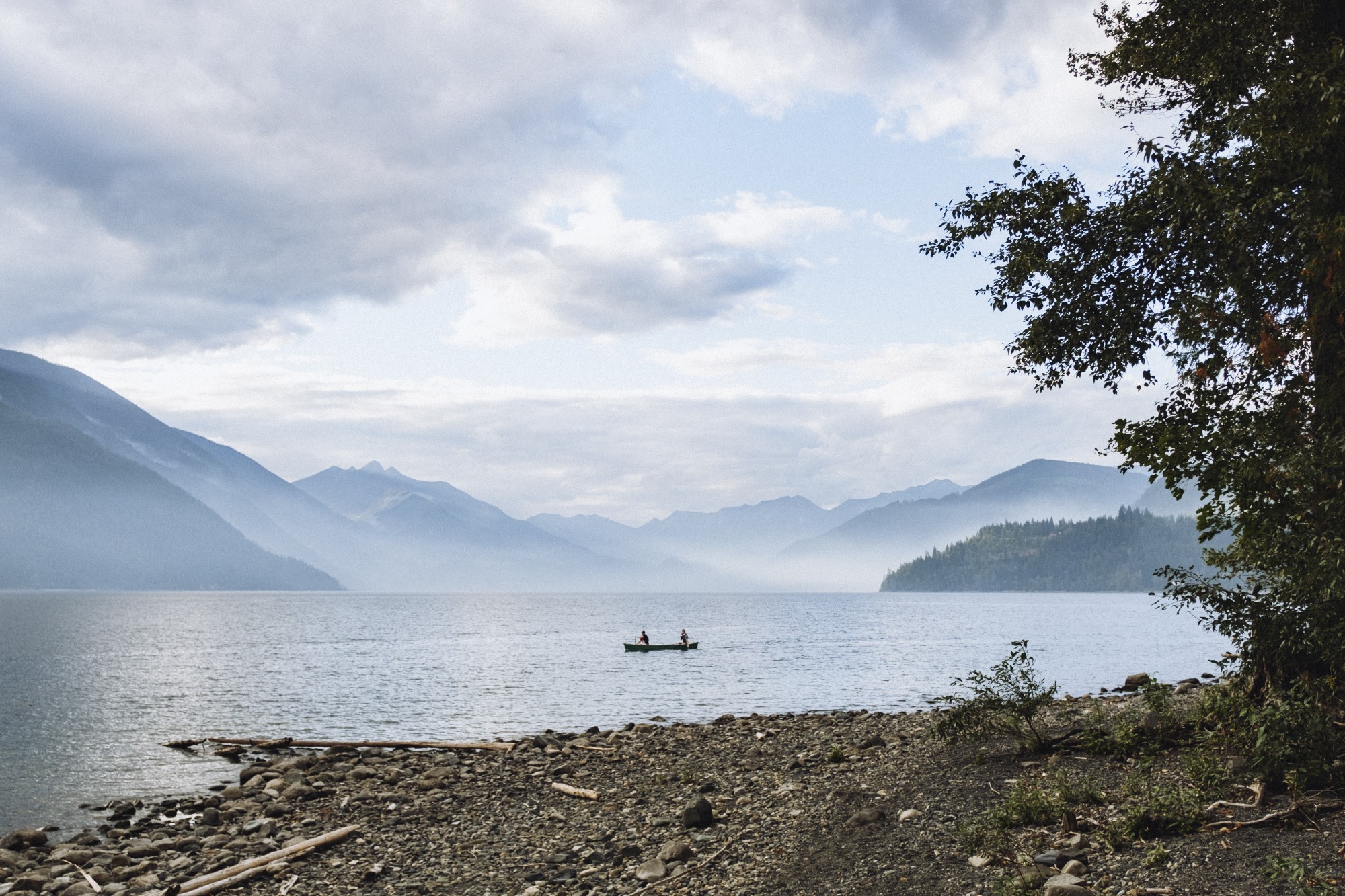
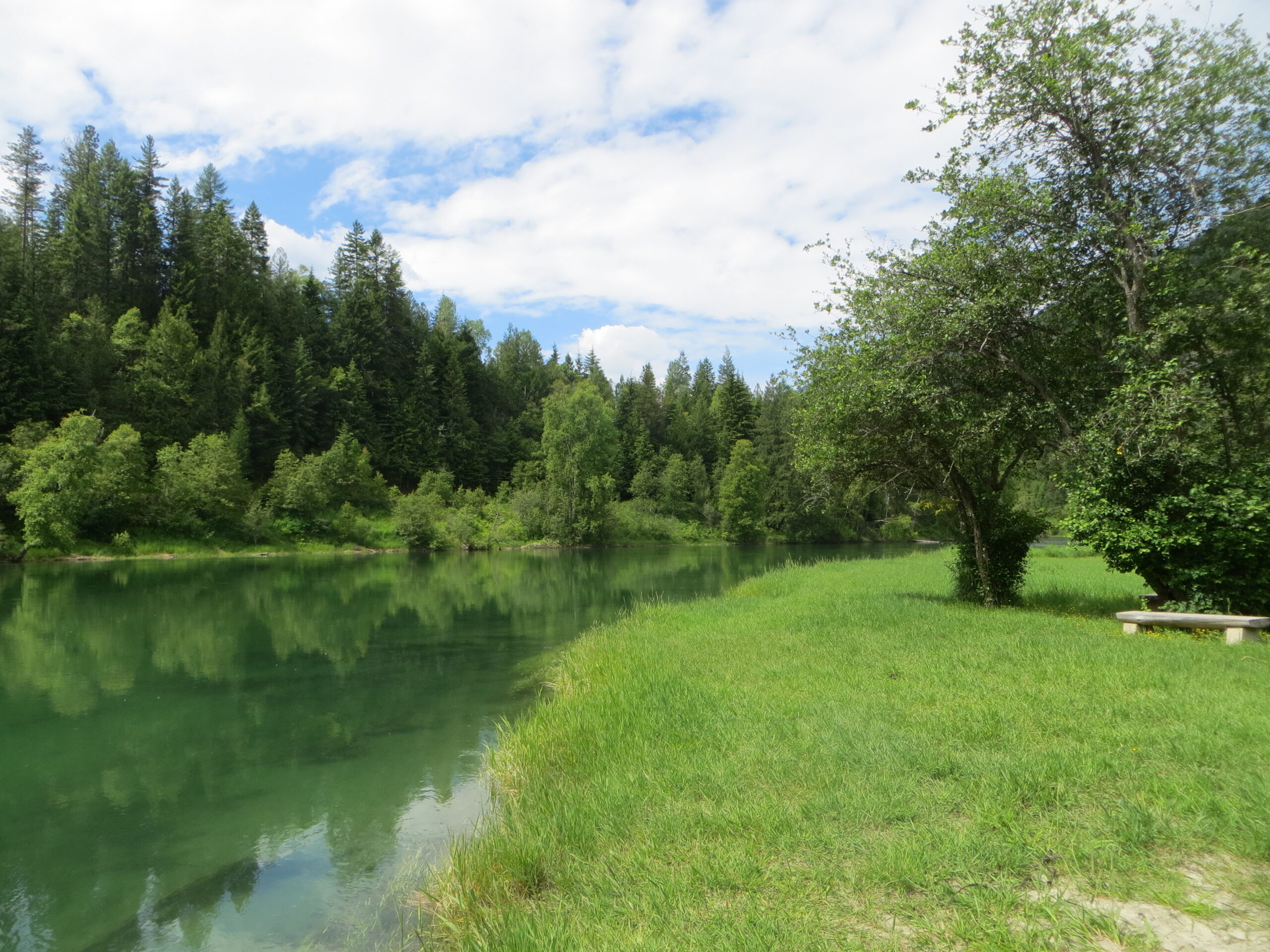
Tranquil park setting on a beautiful lake. Park visitors enjoy canoeing, fishing, or swimming. The campground has 34 vehicle accessible sites.
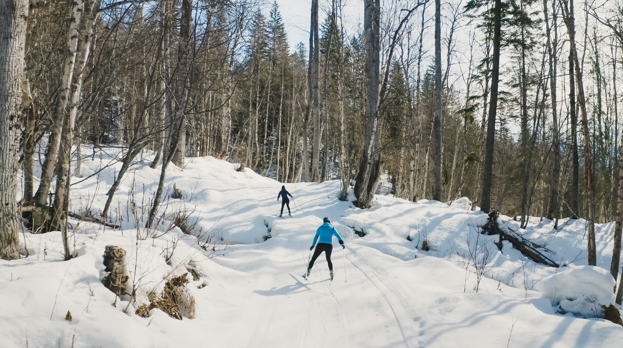
The club maintains classic and skate skiing trails including over 8 km at the ski area between Hills and Summit Lake, and a 4 km section of the rail trail.
The 2682 yard 9 hole course’s narrow fairways are framed by evergreen trees. The Selkirk Range and Slocan Lake provide backdrop when enjoying the Clubhouse deck.
The trail runs along the south side of Carpenter Creek, eventually meeting Galena Trail in Three Forks. Connection to the K&S rail trail will take hikers to Sandon.
Located on the south side of Carpenter Creek surrounding the village campground. Includes sports fields, swimming area, public boat launch, beach volleyball and a playground.
The gentle trail follows the shoreline from Carpenter Creek northwards to Bigelow Bay and can be accessed from many points in town. Provides views of Slocan Lake and surrounding mountains.
Three Forks is the junction where three rail trails meet to offer exploration in various directions. The K&S trailhead is found off Hwy 31A and the others off Sandon Rd.
Starts in upper Sandon at the kiosk and replica train station. Hikers and XC skiers enjoy views of Sandon and pass by the historical Altoona mine.
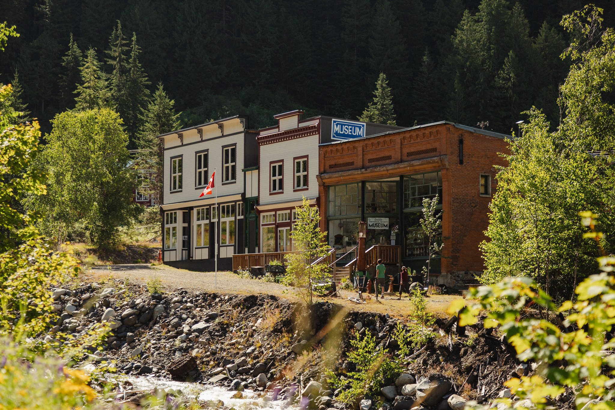
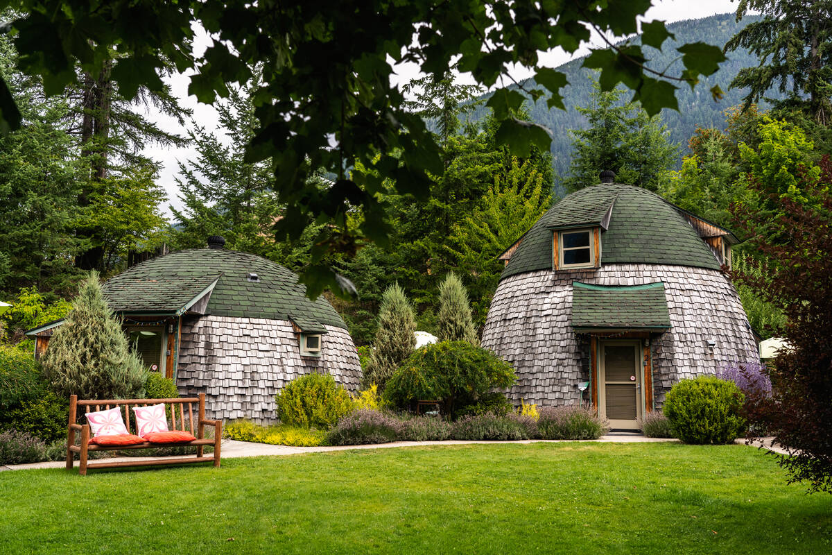
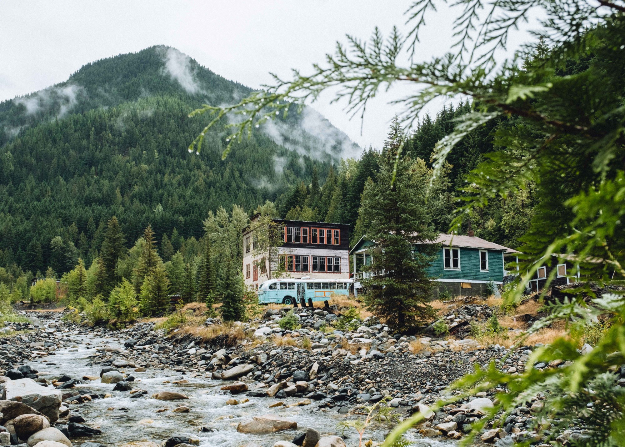
The Sandon historical townsite is never closed. Outdoor exhibits can be viewed any time. From May to October some buildings are available for walk through, and a cafe exists.
The 49,893 hectare wilderness park on the west side of Slocan Lake protects its diverse topography, majestic peaks and unique vegetation. The park has access points for hiking and campsites.
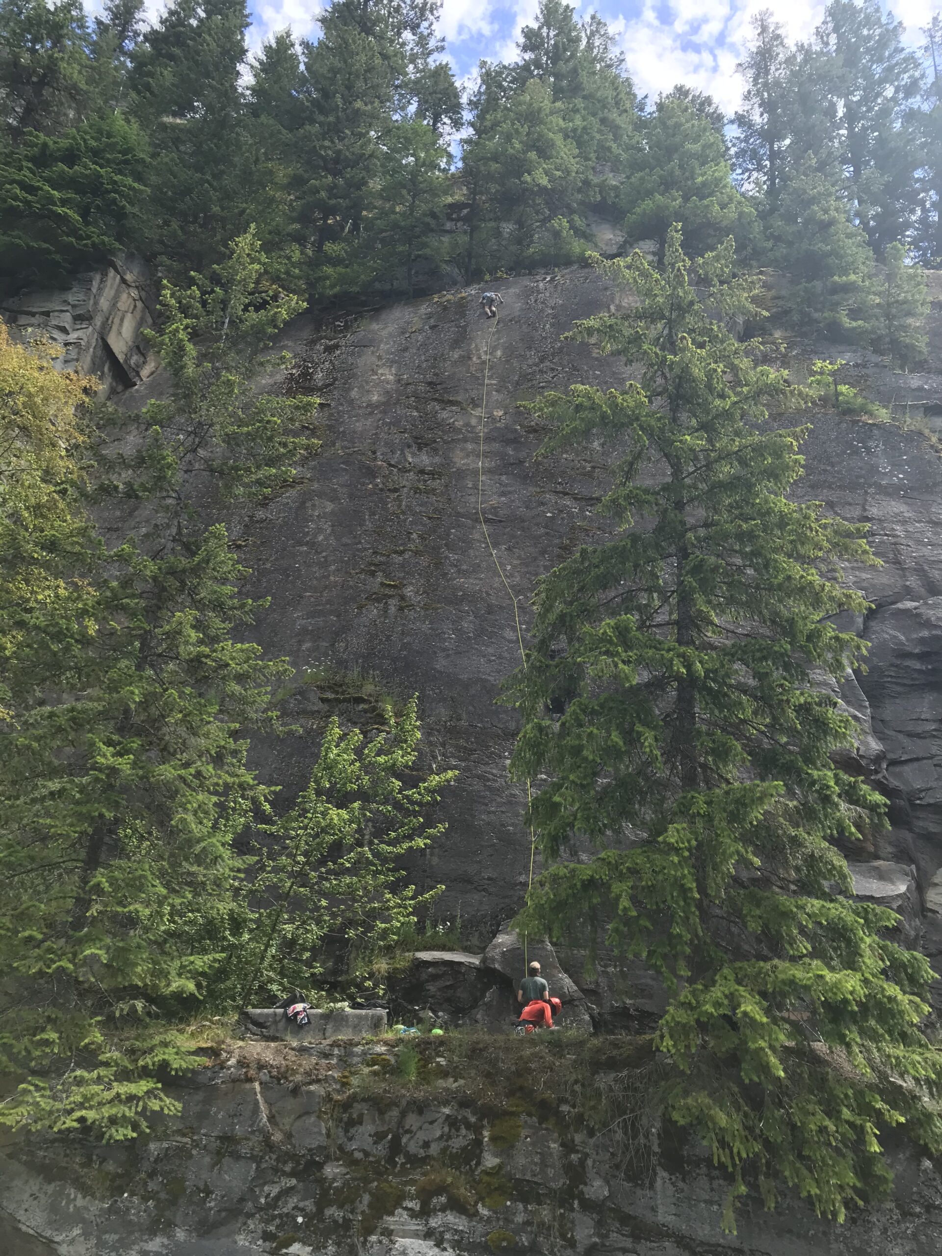
The bluffs are located on the edge of Slocan Village. The numerous sport, trad and mixed climbing routes are accessed via a short walk from the Village.
This family friendly oriented sandy beach has a roped off swimming area, grassy picnic spots and a boat launch.
This trailhead provides access to the 52 km rail trail at its most northern end. There are seven access points along the full route.
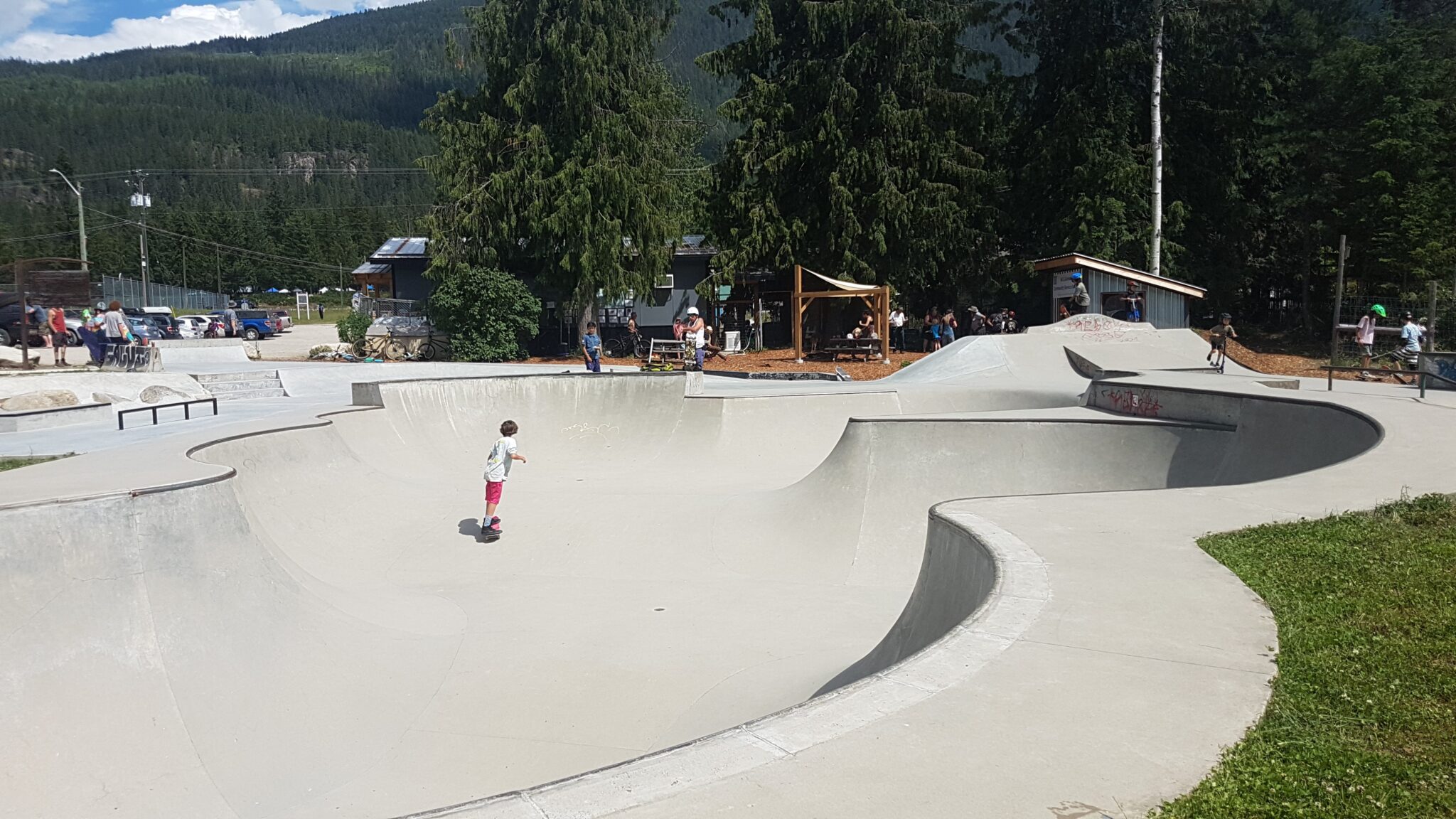
Built by Spectrum Skatepark Creations, the park features a smooth cement bowl and a few street elements to challenge both beginners and experts.
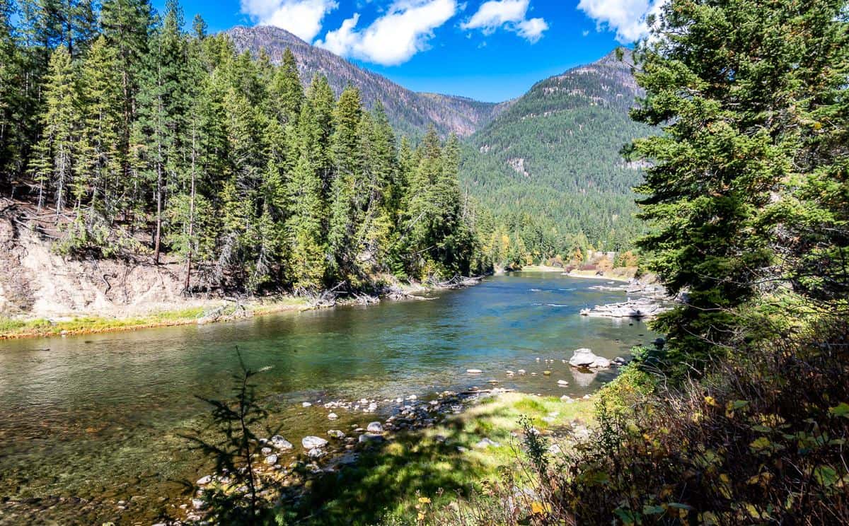
Moderate 17 km out and back hike following the Slocan lakeshore on the edge of Valhalla Provincial Park. The turnaround point is the bridge over roaring Evans Creek.
The sanctuary on Slocan River is between the trailheads of Slocan and Lemon Creek. The wetlands can be seen from the trail and are popular with bird waters.
This trailhead provides access to the 52km Rail Trail. There are seven access points along the full route.

This nine hole course has separate tees for the back nine. A round of eighteen holes plays as a 5,411 yard, par 70 course.
The 9.2 hectare park is located on the west shore of the Slocan River. It offers restrooms, change rooms, a covered gazebo, picnic area, playground, beach, and elevated boardwalk.
This trailhead provides access to the 52 km Rail Trail at its southern end before its last stop in South Slocan.
The 2.53 hectare park is located on the west shore of Slocan River. This is a popular picnic spot, especially for river sport enthusiasts.
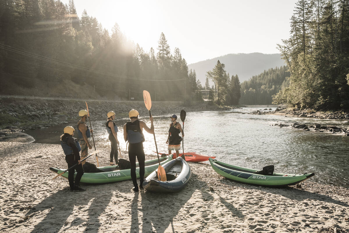
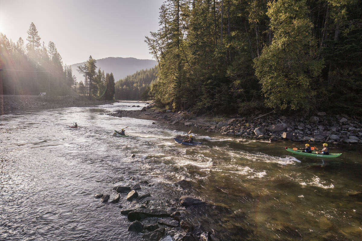
Professional river guides offer rafting tours, adventures and courses. The rental fleet of paddleboards, rafts, kayaks, innertubes and gear help clients out on the river safely.
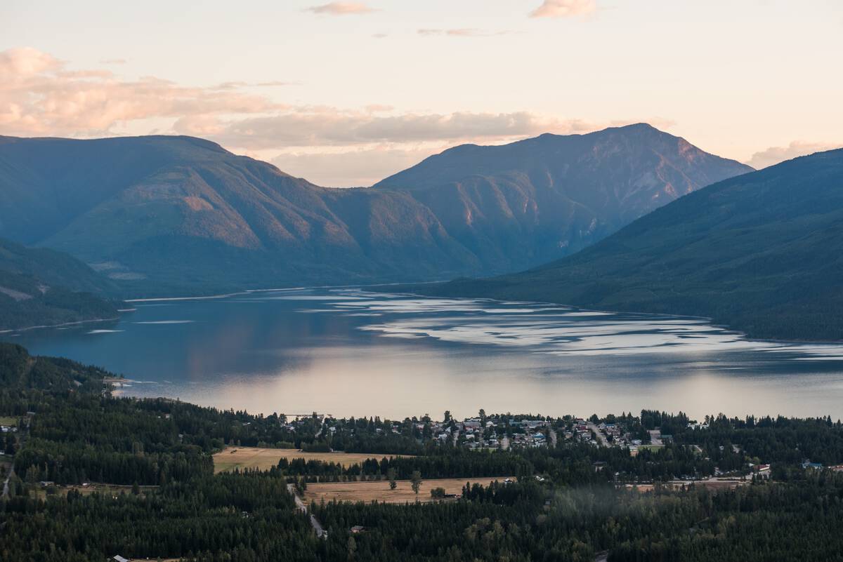
Welcome to the West Koots
With over a dozen communities to explore, you’ll be delighted with the diversity and strong sense of place that characterizes each location.
Picture Perfect Moments
We love to see your adventures throughout the region! Be sure to tag us on social media @visitarrowslocan or #VisitArrowSlocan.
Explore More Road Trips
Extending your journey? Check out our other road trip suggestions for not-to-miss stops!
Explore South Slocan
Paddle Slocan Lake, hike forest trails in Winlaw, explore Vallican’s artistic spirit, and savor Crescent Valley’s riverside tranquility and local delights.
Visit Slocan Valley